SINGAPORE: Ever find yourself cruising through multiple green lights down an empty stretch of road?
It’s not just luck – technology is also at play.
As part of Singapore’s Smart Mobility 2030 vision, new devices and systems have been introduced to meet the needs of the population on the roads.
Whether you’re a motorist or pedestrian, here are some of the technologies on trial and those that have been around for a while, to help manage traffic and keep the roads safe.
YOU’RE ON CAMERA
Guilty of slamming on the brakes right before a speed camera?
The new speed camera system introduced in December last year, won’t let such motorists off the hook so easily.
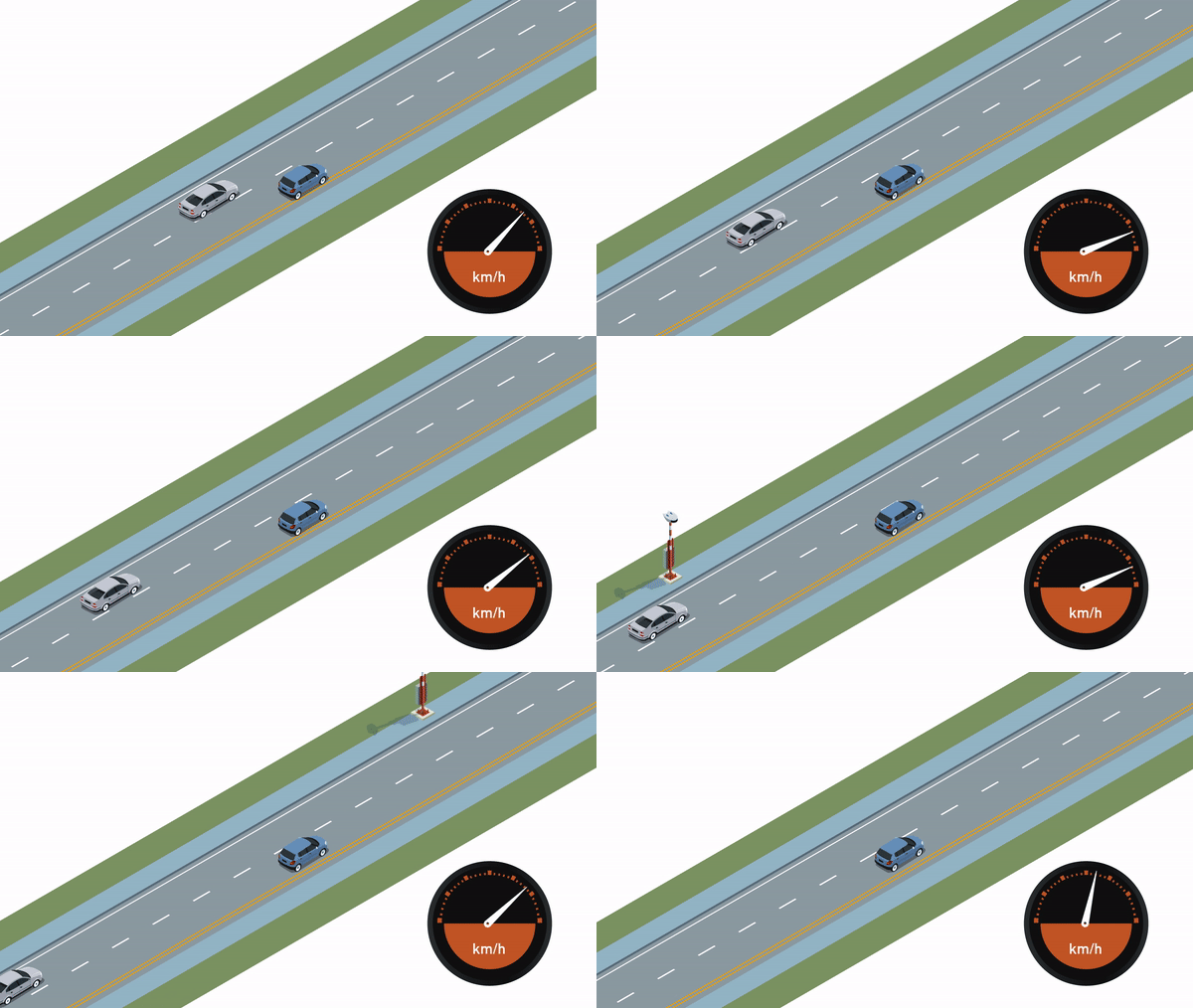
It calculates a vehicle’s average speed and was installed along a 4km stretch of Tanah Merah Coast Road.
The road, which has a speed limit of 70kmh, was chosen to roll out the system “because it is susceptible to speeding and illegal racing”, according to the police.
When a vehicle enters and exits the enforcement zone, the two-point camera system will detect and compute its average speed.
This is the first time such a system is being used on Singapore roads.
GOODBYE ERP GANTRIES, HELLO SATELLITE ERP
The familiar sight of Electronic Road Pricing (ERP) gantries on Singapore’s roads may be no more in future.
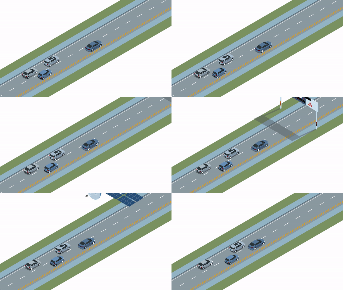
A new ERP system based on Global Navigation Satellite System (GNSS) technology is expected to roll out progressively from 2020 to replace the gantry system which is almost two decades old.
Currently, motorists pay a flat fee once they enter an ERP zone. Under this system, motorists will be charged according to the distance they travel.
Using this system, LTA is also considering the possibility of off-peak car users only needing to pay for using their vehicles for short periods rather than the whole day.
The existing In-Vehicle Unit (IU) will also be swapped out for a new On-Board Unit (OBU), which can be used to pay for parking, checkpoint tolls and usage of off-peak cars electronically.
CATCHING CULPRITS
Since March last year, the LTA has been testing the Automatic Number Plate Recognition (ANPR) camera systems.
The ANPR system is meant to aid authorities in enforcement – as part of its future traffic management systems – by capturing vehicle number plates with greater accuracy.
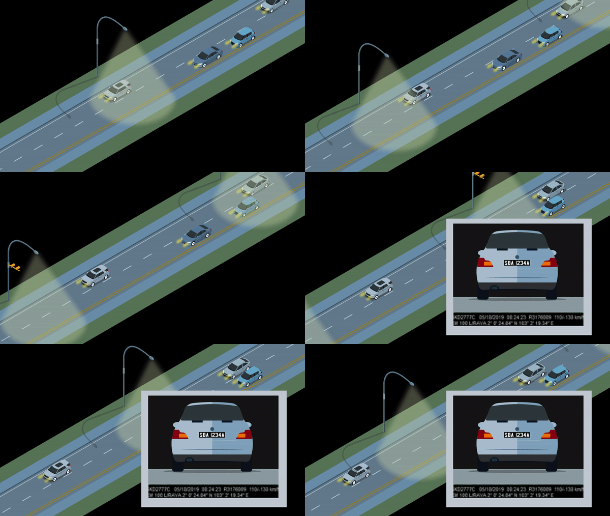
The equipment was existing roadside infrastructure such as bridges and lamp posts, along several expressways during the trial.
In addition, new Dedicated Short Range Communications (DSRC) beacons will also be installed to further enhance positioning accuracy for navigation systems.
Equipment will also be mounted onto vehicles and deployed at areas including Tuas South from April this year, before being expanded islandwide for testing.
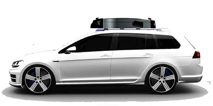
Example of equipment that will be mounted onto vehicles. (Image: LTA)
SMART SIGNALS
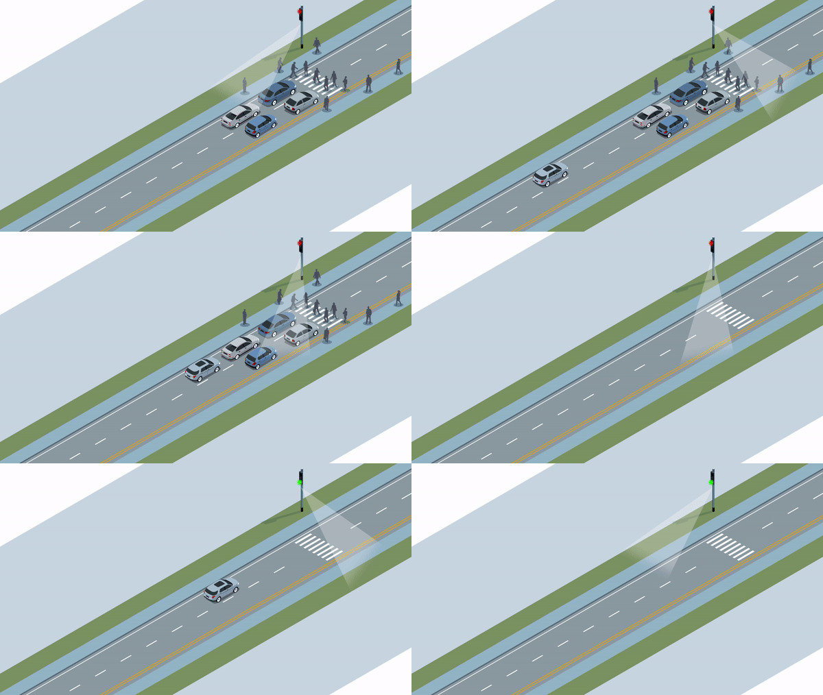
On off-peak periods, it can be frustrating for motorists waiting at the red light, especially when there are no pedestrians or cars around.
A new smart traffic light control system, which has been on a two-year trial since last September, could reduce the waiting time by detecting the presence of vehicles and pedestrians.
By using artificial intelligence and predictive capabilities, the Cooperative and Unified Smart Traffic System (CRUISE) helps develop traffic light algorithms for smoother traffic and pedestrian flow.
The trial is currently underway near traffic intersections and pedestrian crossings along Corporation Road and Boon Lay Way.
As the latest technologies are being trialled to address the new challenges, there have been several advancements over the years that have been an integral part of traffic management Singapore.
Here are two:
RIDING THE “GREEN WAVE”
The Green Link Determining (GLIDE) system controls all traffic signals in Singapore and allocates green time based on traffic volume.

Whenever a vehicle is detected by the wire sensors beneath the road surface, the system will adjust the traffic light timing.
Therefore, the direction with heavier traffic flow will be given more green time.
The system also links traffic signals at adjacent junctions to minimize the number of stops – letting motorists catch that “green wave”.
THANKS TO TAXIS
Taxis on an expressway in Singapore. (File photo)
Drivers often check on traffic conditions before starting their commute to work. But how is such real-time data collected?
One way is through TrafficScan which uses taxis to equipped with Global Positioning Systems (GPS) which give off information such as their location and speed.
The data is then processed to calculate the average traffic speeds along roads and made available for motorists on the OneMotoring portal to plan for a smoother journey.


