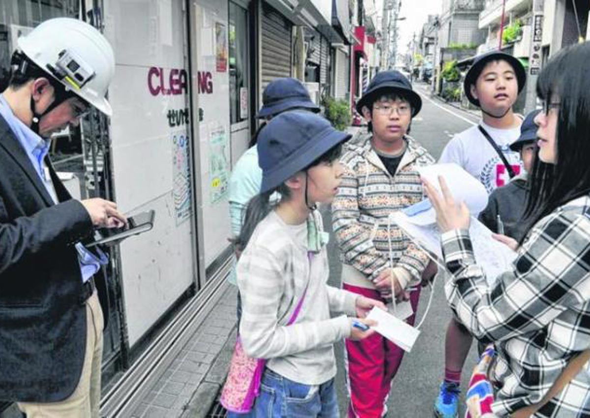
TOKYO – Children at a Tokyo elementary school are using tablets to create hazard maps and establish evacuation routes during disasters.
Repeated field excursions are designed to raise awareness of disaster preparedness at Aijitsu Elementary School in Shinjuku Ward, an area with a maze of small streets.
“This street is narrow so let’s go a different way,” said one child. “But that’ll take more time,” replied another.
Those were the kinds of conversations that played out one recent morning among 10 small groups of Aijitsu fifth-graders using tablets to figure out evacuation routes.
Once the group selected a street, a disaster update appeared on the tablet, prompting the children to choose an alternative route.
The field work that day took place in the neighbourhoods around the school.
As pupils made their way from locations near their homes to an evacuation area at an elementary school, an app linked to a map sent out audiovisual alerts at certain points, giving information about situations such as fires, collapsed walls and downed power lines.
Usually, drills take place at a designated time and use a specific route but people need the ability to adapt.
The app was developed by a research team from Tokyo City University to help children foster the decision-making skills needed in unpredictable situations.
Last year, children used another app the team developed to create hazard maps specifying the locations of fire extinguishers, fire hydrants and other landmarks.
This year, the goal is to have pupils consider optimal routes from near their homes to the school evacuation area by actually walking the streets.
On the day of the field work, the 10 groups discussed what streets would be safest if their passage was hindered because of a disaster, recording their reasoning in a notebook.
“I learnt that this area has a lot of narrow streets and wooden houses. I want to use (this experience) in an actual disaster,” said Ayana Nagaoka, 11.


